Solutions for smart cities
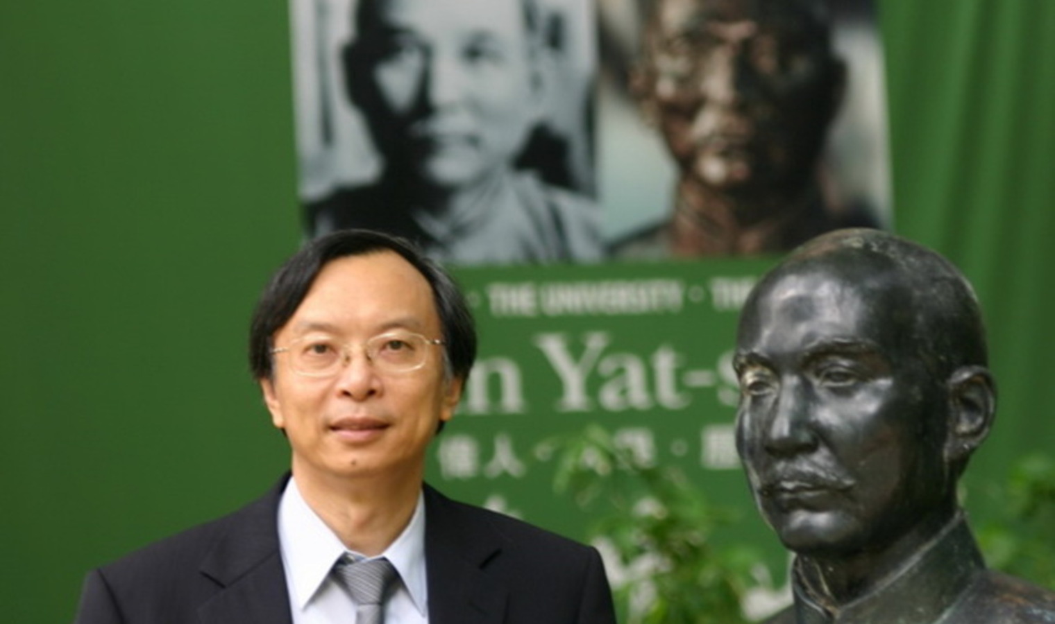
Dr Anthony Yeh is Chair Professor in Urban Planning and Geographic Information Science and Chan To-Haan Professor in Urban Planning and Design at the University of Hong Kong and has been studying and developing technologies related to smart mobility and land use, technologies to increase the speed and efficiency of traffic and movement.
Parallel routes
His patent for a GPS technology to improve route making and navigation tracking throughout a city helps solve some of the issues presented by confusing parallel flyovers. In short, this angle difference method compares a car’s angle with the ground road level to determine whether a vehicle has entered a flyover that is paralled with the ground roal level.
Let’s say you’re using an app like Google Maps to find the best driving directions to your destination. In a densely packed city like Hong Kong, many streets run vertically parallel to one another, say one road on ground level and the other an elevated flyover.
Because GPS systems track your movement on an xy position, movement in the vertical direction (like driving up a ramp onto an elevated highway) cannot be traced by the system. Because of this, when following the directions on your app, the system will be unable to determine whether you are on the ground-level street or the elevated flyover, therefore creating errors and confusion in vehicle navigation, which can be quite unsafe.
To remedy this problem with the xy based system, Dr Yeh has developed a technology that enables the smart phone to read the angle of the car relative to the ground. If the system can tell that your car deviates from the ground level, it can infer that you are going up the ramp or down into a tunnel. Once the system has identified that you are moving onto a parallel route, it can re-calibrate, taking into account your new route on the parallel flyover.
Another patent in Dr Yeh’s belt is a technology to develop ‘navigation lines’. These lines are the paths upon which you may travel, essentially the roads and highways of the city. But these navigation lines are not always so simple. Some bigger roads have multiple lanes, each representing a different navigation line.
At some intersections, those lanes may each branch off to another path, one lane leading to the highway, one straight ahead, one into a tunnel, for example. When navigating, it is important to maintain a proper layout of these navigation lines, so that the routes can more easily be traced and directions given (move into the left lane in order to get on the expressway, for example).
Dr Yeh’s system automatically generates and updates sets of navigation routes, based on road markings like lane information (one lane to Admiralty, one lane to Causeway Bay), junction information, left turn only, etc. By automatically extracting lane information from a map and incorporating it into navigation route planning, better routes can be suggested and complex, multi-entry and -exit intersections can be accounted for.
This technology is also being extended to create improved indoor navigation. Much like streets outside, the paths within a building have road markings of their own. Two hallways intersect to make a four-way stop, a lift lobby acts like a junction, giving you the choice of which set of paths to move through. The improved computerised system can develop a navigation route from a floor-plan, allowing easy updating of indoor navigation routes, as they are automatically updated with the floor-plan.
Monitoring land use
Dr Yeh is also developing technologies to better combat illegal land use. The illegal development of land for purposes such as landfills or development is a problem in Hong Kong and the greater Southern China region, with sometimes fatal consequences. Landslides as a result of illegal dumping and building up of illegal landfills have been responsible for many deaths in recent years.
Regular assessment of land use can be difficult, as these sites of illegal dumping are often in remote and well hidden areas, making tracking on foot quite difficult. As a result, aerial surveys are done, using optical methods (cameras) to assess whether there are any changes in the topography that could mean illegal land use is taking place.
It’s quite basic, a plane flies over and takes a picture than can be compared to previous pictures to check for differences. But because this technique is optical, view-blocking conditions like cloudy weather or visibility-reducing smog can make it difficult to properly assess an area.
To deal with the issues of optical techniques, radar technology is used, as the radar waves are unaffected by weather. However, the problems don’t stop there. Because of the abundance of agricultural land in South China, the land cover is constantly changing as crops go through their growth cycle (sprouts to adult plants to withered stalks post-harvest). The growth cycle of crops means that over the course of a year, a plot of land will look very different in different seasons. Bare fields can appear quite similar to a construction site or illegal dumping site, leading to confusing results and difficulty properly assessing land use. Basically, a lot of false alarms.
With regular surveys by radar satellite remote sensing, every 24 days, a month to month assessment can be done. Better knowledge and tracking of land use changes can help authorities stop illegal development or dumping before the risk of more serious consequences can develop.
New cities, new growth patterns
China has just hit the 50% urbanization mark, and in the twenty years to come, 200 million more people are expected to migrate into the cities. A population with the size of Brazil will be moving into China’s already overpacked cities looking for a place to go. In the past, China has adopted a national policy to both nurture the growth of small and medium-sized cities while also controlling the growth its larger cities like Beijing and Shanghai with some success.
"However, even if only ten million people move to a city like Beijing or Shanghai the whole city would be a mess,” Dr Yeh says. To address this, and hopefully prevent future issues, Dr Yeh and his team are investigating the effectiveness of China’s policies that limit growth in large cities and promote growth in medium-sized and small cities.
“I think so far, in the early days, it has been quite successful,” says Dr Yeh, speaking on China’s attempts to manage its massive population in the past. Looking forward, with city populations reaching numbers never before seen, it’s difficult to say whether growth can be controlled and the urban problems like employment and squatters that plague cities like Bangkok, Manila, and Mumbai will also affect in China.
Professor Anthony YEH Gar-On is Chair Professor in Urban Planning and Geographic Information Science and Chan To-Haan Professor in Urban Planning and Design at the University of Hong Kong. Professor Yeh is distinguished for his major contributions to urban planning and GIS research and development in Hong Kong, China and Asia. He is widely recognized internationally as one of the leading experts on urban development and planning in Hong Kong and China and the applications of GIS in urban and regional planning. His research on the use of cellular automata in urban planning models has provided an invaluable tool for the planning of sustainable urban development. Professor Yeh later elected as an Academician of the Chinese Academy of Sciences in 2003, Fellow of TWAS (The World Academy of Sciences for the Advancement of Science in Developing Countries) in 2010; and Academician of the Academy of Social Sciences, UK in 2013. He is a recipient of HKU’s Distinguished Research Achievement Award in 2016, the highest honour and award for excellence in research bestowed by the University of Hong Kong to one of its staff in every two to four years.
To view Prof Yeh’s personal Croucher profile, please click here.